 The Nicola River 20km west of Merrit, 3hrs drive East of Vancouver. Looking down stream towards an approaching thunder storm. This was our "put in" for our canoes. Water is traveling here about 70 cubic metres per second.
 The same morning looking towards camp, East. The fly had been removed from my tent to dry out moments before we noticed the approaching storm coming up the valley from the west.
 Looking south across the river to the approaching storm.
 A hike on Sunday took us above our camp site and the river to give us a better perspective of the valley. At the bottom of a rock wall 30m below the top of a hill approximately the size Mt Coolum with no direct path to the top.
 The view from the same spot less 180 degrees. The road to the right and the river to the left winding west towards Spencers Bridge, BC. Our exit was some 10km down stream through several Native Bands. I lost count of the Bald Eagles that I saw along the river, probably close to 12. Also sighted were Salmon, Deer and a Bear.
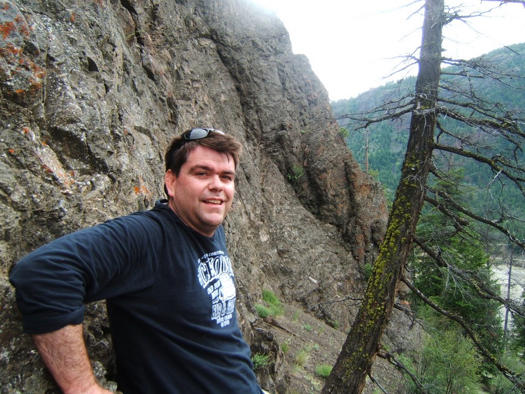
 A photo of myself coming down the hill. My first Coyote den, notice the pile of dirt in front. Stopping short of looking in head first it was hollowed out and surprising large inside. Bedded with grass and straw I could quite easily lay inside and be comfortable.