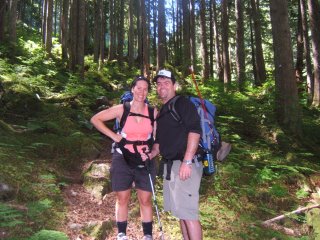
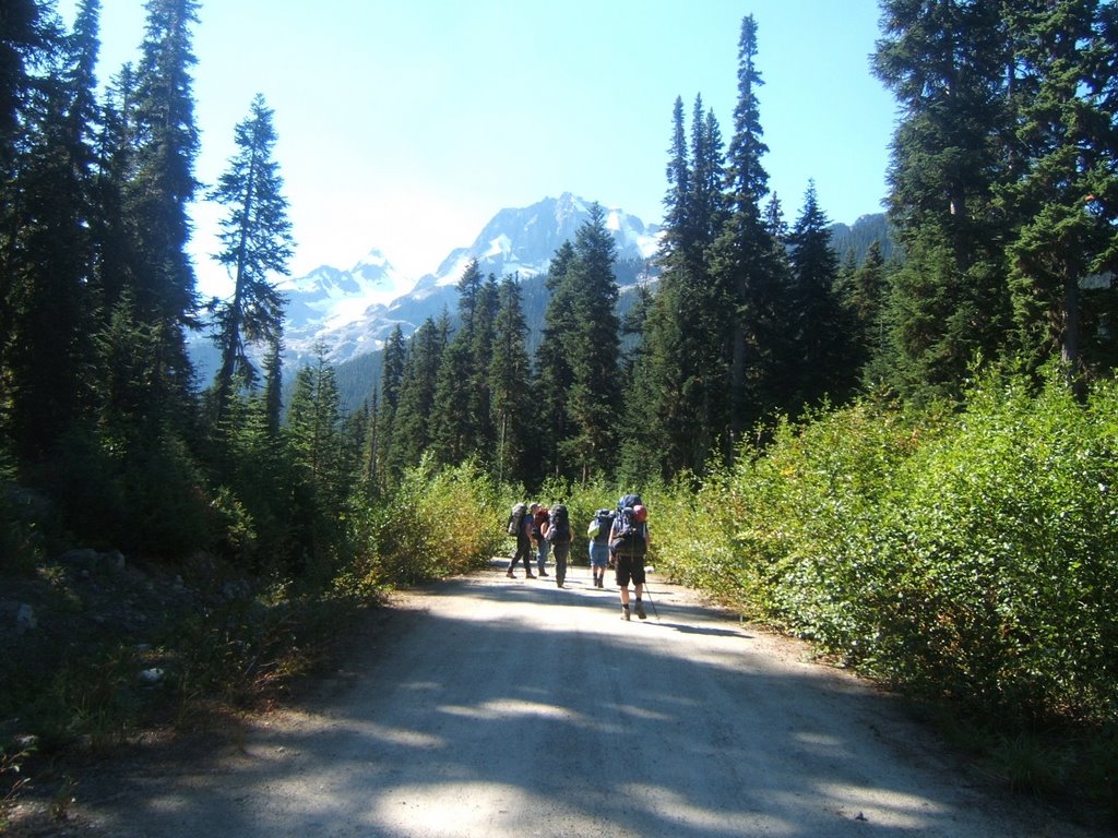
On the trail not far into our 6hr hike to the lake. You can see the trail just to the left of Nikkers never more than 2 boots wide. Hiking through i kept thinking that at any moment an Ewok would jump out and spear me.

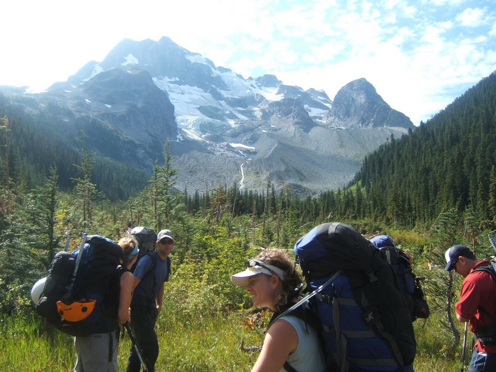
The majority of the way we hike parrallel with the drainage from the lake. There was waterfall after waterfall. From here we are approx half way up, by my guess the trees at the top of the photo would the altitude of the lake.
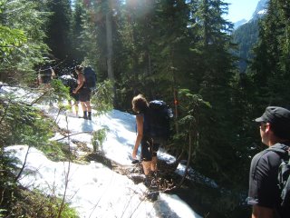
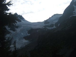
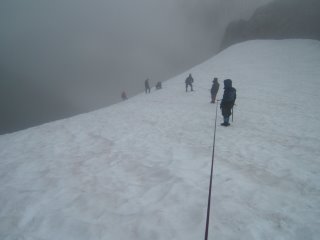
Almost there! With the blue sky above(including no canopy and sun light) and the last of the winter snow still lingering tells us that we are nearly there.
 We made it!!!
After 10kms and a gain of 1200m in elevation we arrived at our accomodation for the next two nights.
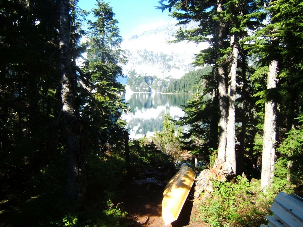
 The other side of the hut. Looking West out the window towards the lake.

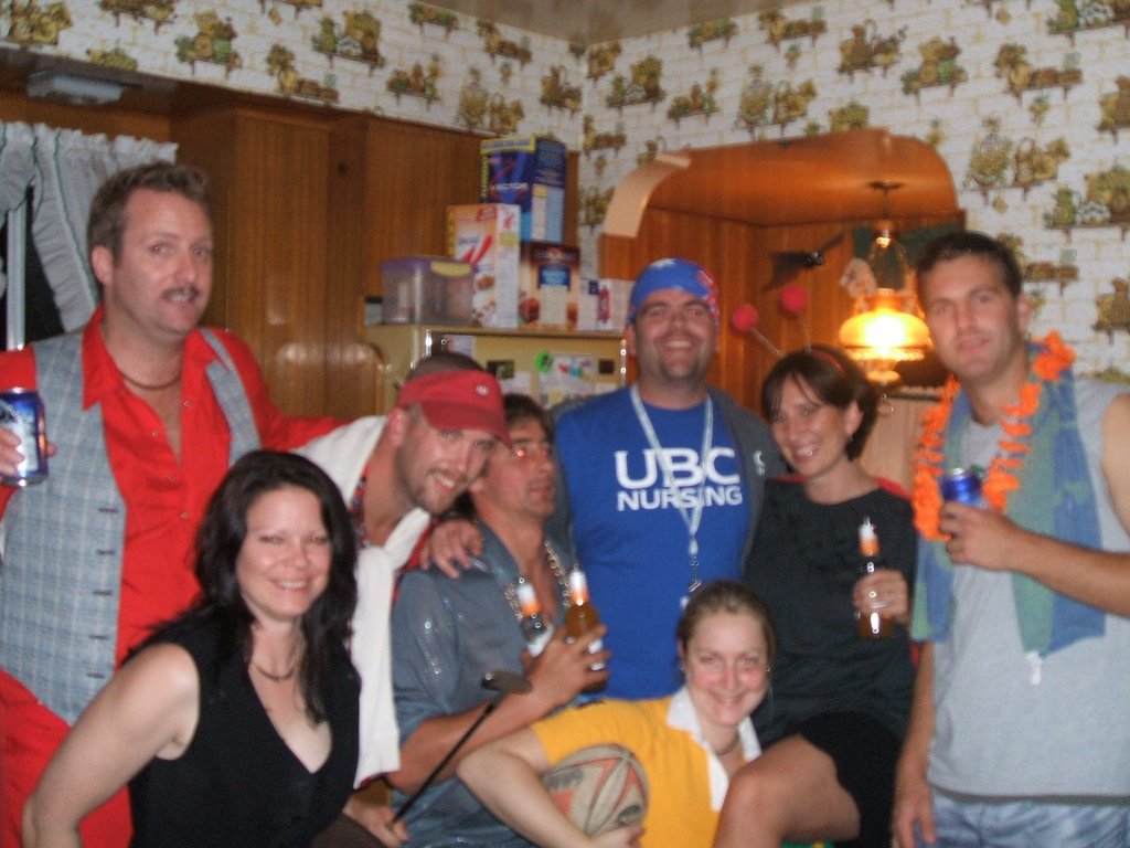
Happy Canada Day!
Fishing of the the half sunken whalf for Rainbow Trout that habitat the lake with the last of the sun hitting the peak in the background.....without luck.
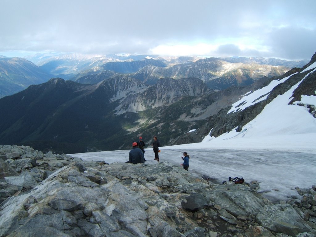
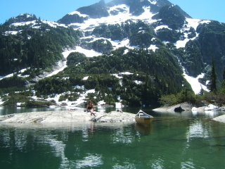
 Sunday and the lake to ourselves. One of the most amazing places i have ever been and there was only 11 people there all weekend. Not including the 4 people that flew in by float plane for several hours.
Touring the lake on our rest day with Nicole and Kathy admiring one of the 6 Glaciers that flow into the lake. Very, very cold water........Very cold!
After familarising ourselves with the lake we found a nice bathing/swimming/fishing rock where we spent most of the day. As we left we snaped this photo of Ali soaking up few gamas.


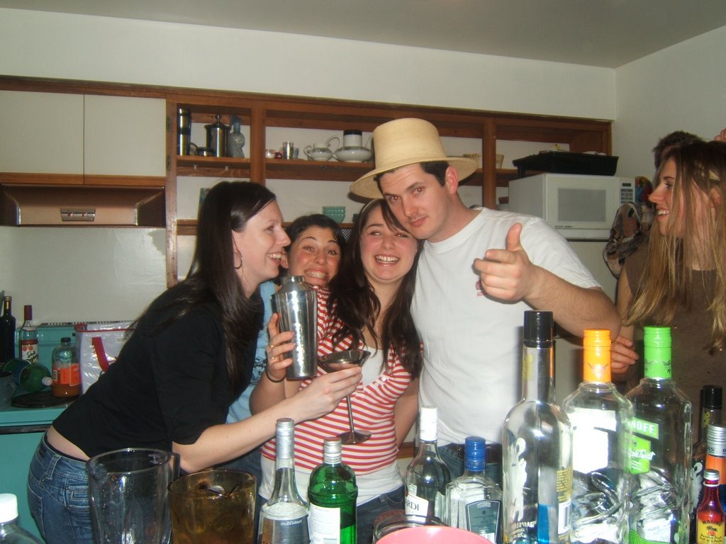


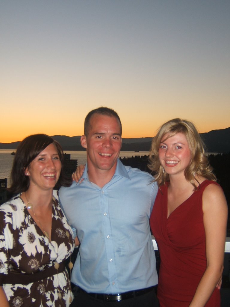
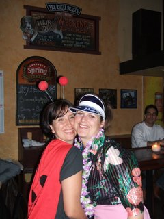 The lady bug and the tacky tourist out on the town!!


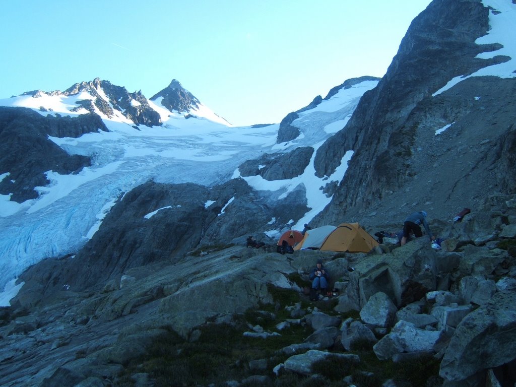
 After 5 hours we reach the moraines where we look South up the glacier. Matier on the left and Joffre just out off view on the right. The rocks on the Col (a sholder between two mountains) at the top centre, is where we hiked and turned arround.

 Laurie the first on the left, has pretended to fall into a crevasse. Paul is standing watching Craig build and anchor to take Laurie`s weight. Rohan, Kathy and Nicole G with Nikkers bracing to hold Laurie.
 Nikkers on belay!
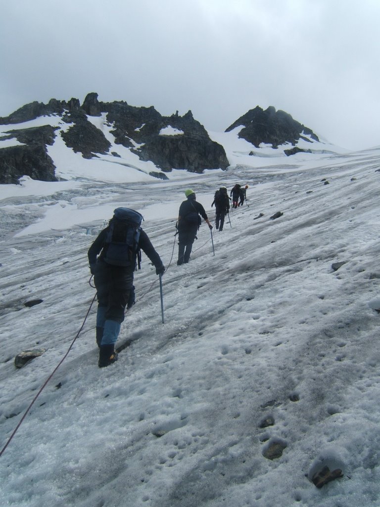


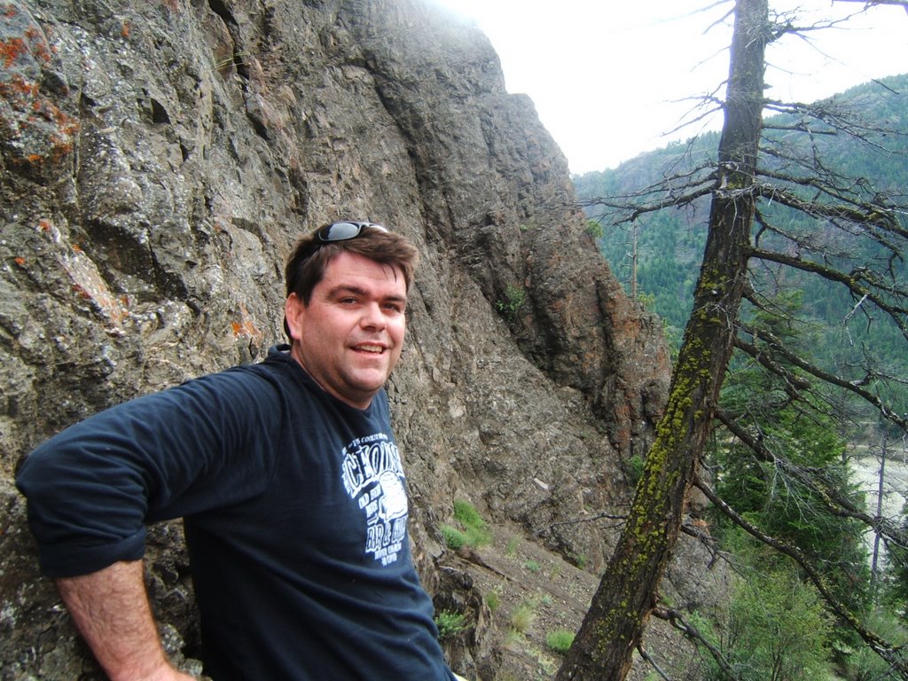

 A photo of myself coming down the hill. My first Coyote den, notice the pile of dirt in front. Stopping short of looking in head first it was hollowed out and surprising large inside. Bedded with grass and straw I could quite easily lay inside and be comfortable.
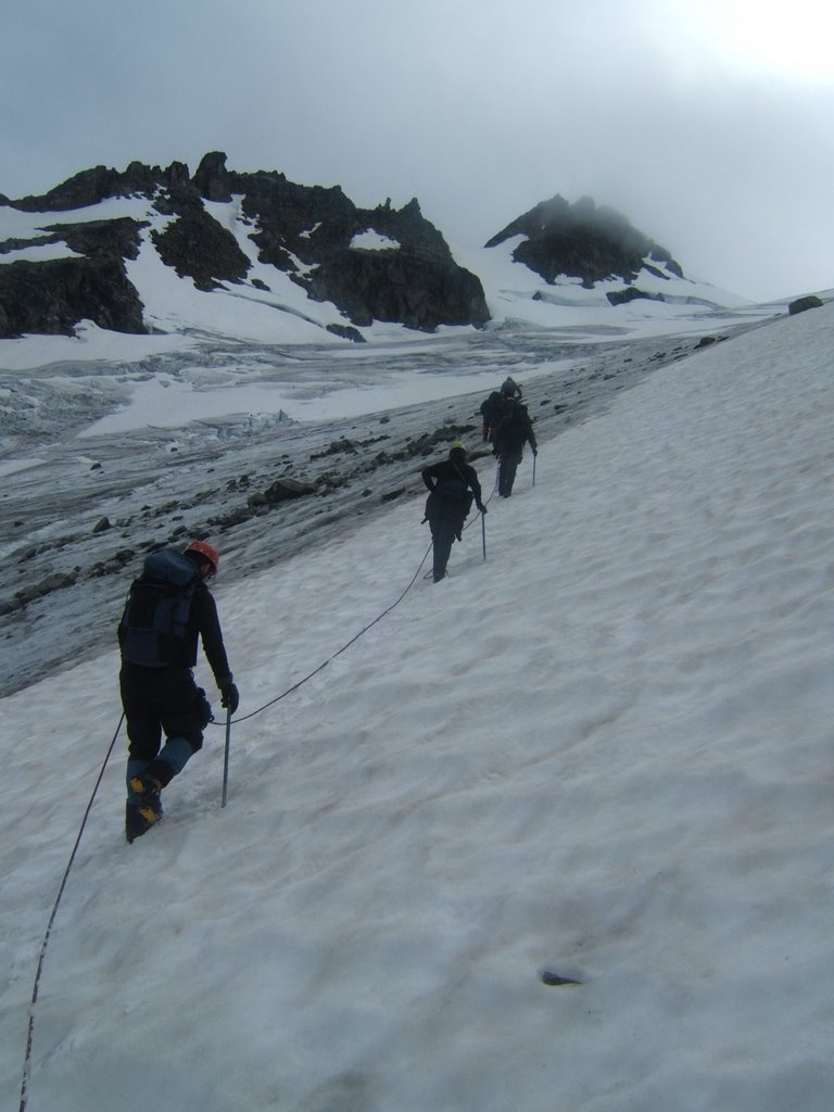