 A beautiful Sunset over English Bay
 Kim and I enjoying the view
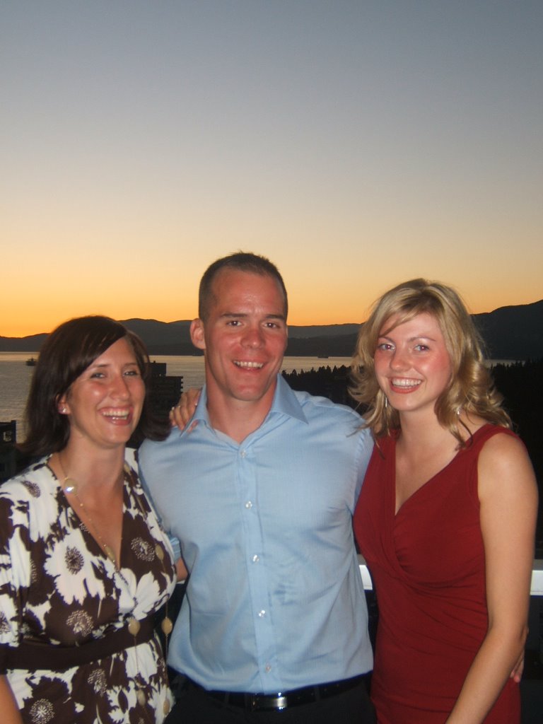 Fellow Nurses - Sean & Kim
 Ro & Sean deep in conversation..

Julia, Kim & Sean - very happy to put UBC behind them!!

 Cruising the streets
 With one of New York's finest
 Jackie, Me and Rhonda in Times Square
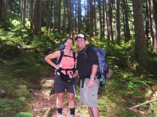
On the trail not far into our 6hr hike to the lake. You can see the trail just to the left of Nikkers never more than 2 boots wide. Hiking through i kept thinking that at any moment an Ewok would jump out and spear me.

The majority of the way we hike parrallel with the drainage from the lake. There was waterfall after waterfall. From here we are approx half way up, by my guess the trees at the top of the photo would the altitude of the lake.
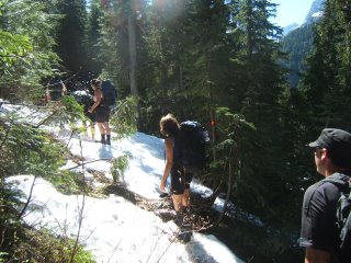
Almost there! With the blue sky above(including no canopy and sun light) and the last of the winter snow still lingering tells us that we are nearly there.
 We made it!!!
After 10kms and a gain of 1200m in elevation we arrived at our accomodation for the next two nights.
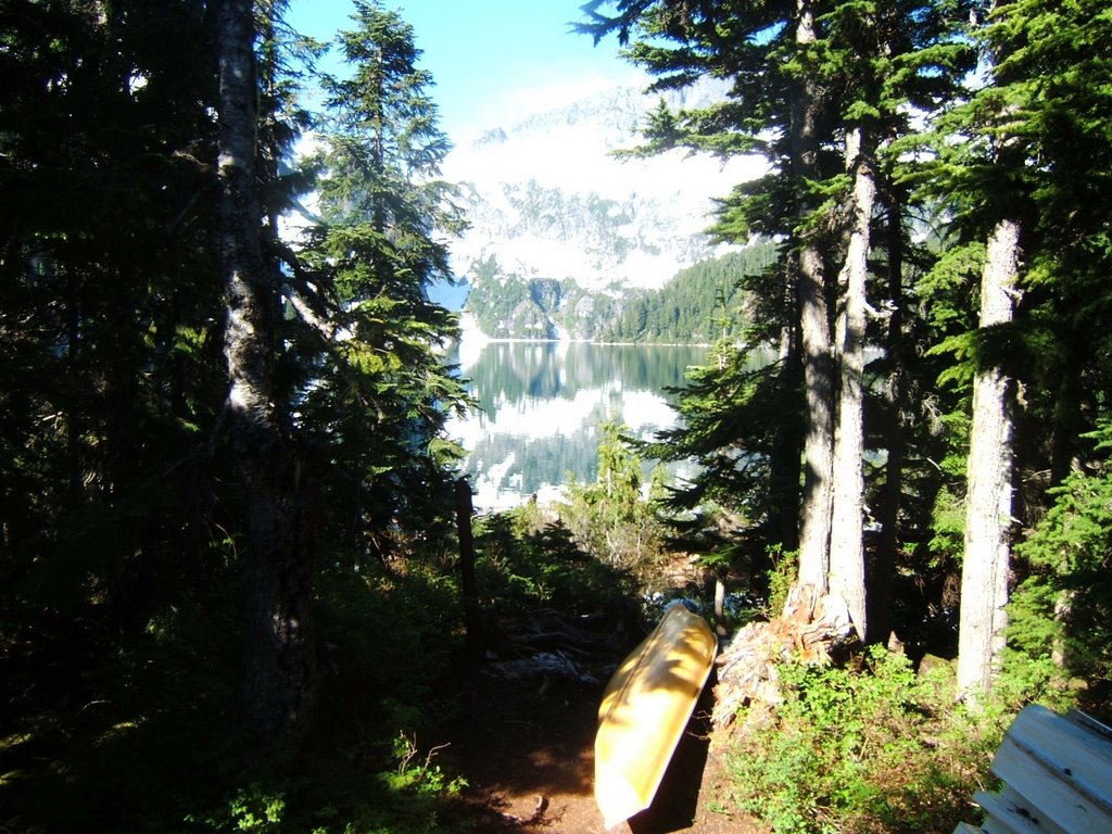 The other side of the hut. Looking West out the window towards the lake.

Happy Canada Day!
Fishing of the the half sunken whalf for Rainbow Trout that habitat the lake with the last of the sun hitting the peak in the background.....without luck.
 Sunday and the lake to ourselves. One of the most amazing places i have ever been and there was only 11 people there all weekend. Not including the 4 people that flew in by float plane for several hours.

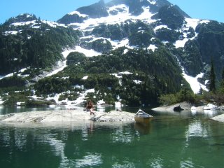
After familarising ourselves with the lake we found a nice bathing/swimming/fishing rock where we spent most of the day. As we left we snaped this photo of Ali soaking up few gamas.
 The Nicola River 20km west of Merrit, 3hrs drive East of Vancouver. Looking down stream towards an approaching thunder storm. This was our "put in" for our canoes. Water is traveling here about 70 cubic metres per second.
 The same morning looking towards camp, East. The fly had been removed from my tent to dry out moments before we noticed the approaching storm coming up the valley from the west.
 Looking south across the river to the approaching storm.
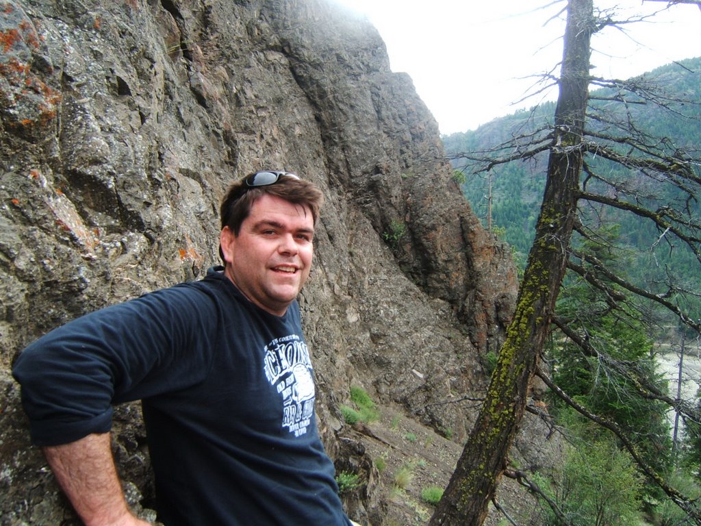 A hike on Sunday took us above our camp site and the river to give us a better perspective of the valley. At the bottom of a rock wall 30m below the top of a hill approximately the size Mt Coolum with no direct path to the top.
 The view from the same spot less 180 degrees. The road to the right and the river to the left winding west towards Spencers Bridge, BC. Our exit was some 10km down stream through several Native Bands. I lost count of the Bald Eagles that I saw along the river, probably close to 12. Also sighted were Salmon, Deer and a Bear.
 A photo of myself coming down the hill. My first Coyote den, notice the pile of dirt in front. Stopping short of looking in head first it was hollowed out and surprising large inside. Bedded with grass and straw I could quite easily lay inside and be comfortable.
 Looking at the Granville Street and Burrard Street Bridges
 An amazing view of the city


Alex & Stephie
Judy & Michela being silly!

The girls - Jackie, Nicole, Beth & Stephie


Craig & Stephie

Whats that apples? Apples, Stephie, Rohan & Nic

Chas, Stephie, Winnie and Rohan at the Kats clubhouse

Jenkins - getting some eats!

Beth & Stephie

Kisses all around!!

Having a beer...or two!


The girls - Chas, Peggy, Irma, Dorthe, Nic 


 Rohan and Stumpy enjoying a "moment"


